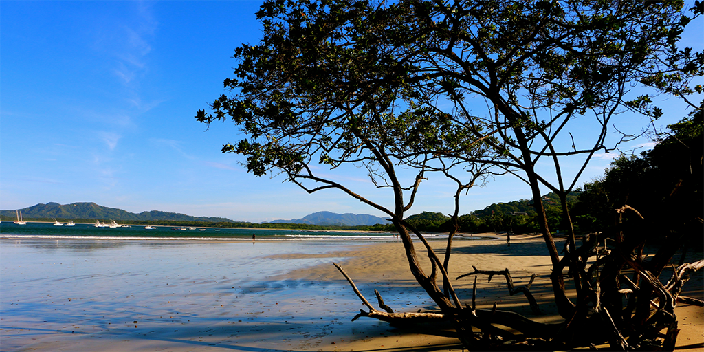
Tamarindo experienced major development over the last decade due in part to its convenient location. The world famous beach town is located just 45 minutes from the closest international airport in Liberia and 45 minutes via regional flight from the capital city of San Jose. As the map of Tamarindo Costa Rica demonstrates below, the town is very easy to get to and offers a variety of beaches to explore.
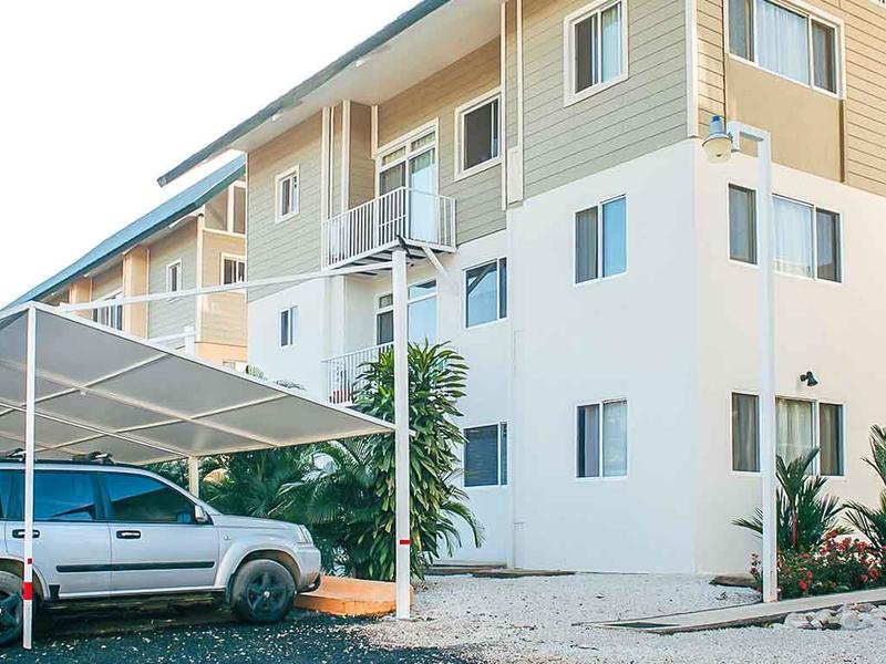
Searching for real estate in Tamarindo has never been easier. Coldwell Banker® Costa Rica’s local franchise office, Tamarindo Realty, is a regional leader in professional real estate services. Tamarindo Realty features virtually any kind of property including luxury, investment, commercial, hotels, and land. Costa Rica does not require real estate licenses for brokers making it especially important to choose a professional broker with a solid reputation when searching for Tamarindo Costa Rica properties. You can count on the team in Tamarindo to find you the right property and facilitate a smooth transaction.