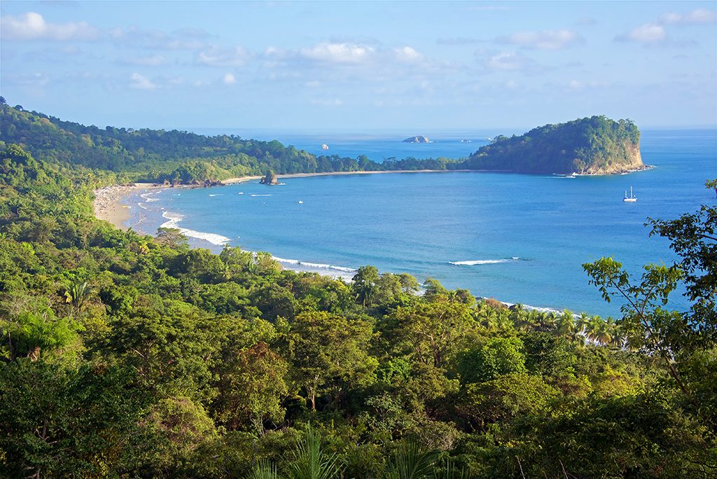
Manuel Antonio is located in the Province of Puntarenas on the Central Pacific Coast of Costa Rica. The coastal town is famous for the world renowned Manuel Antonio National Park which is the most visited national park in Costa Rica. If you zoom in on our map of Manuel Antonio Costa Rica, you’ll see the famous park. The park was also named by Forbes Magazine as one of the top 10 parks in the world to visit. The region offers abundant wildlife and natural beauty with exotic beaches, rainforests, and waterfalls.
Getting to Manuel Antonio is easy with a regional airport in town and the recent construction and improvements to the highway. The drive from Juan Santamaria International Airport is a scenic 2.5 hours taking you through the mountains and down the coast to Manuel Antonio. Our Manuel Antonio map will help you locate the “Caldera” and “Costanera” highways which are the main routes into the famous town.