Puntarenas

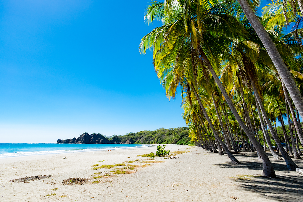
One of Costa Rica’s seven provinces, Puntarenas stretches from the Southern Pacific Zone and border of Panama all the way up to the Nicoya Peninsula.  The province features some of the most popular surfing, nat...

view properties

1461 Propiedades Para Venta en Puntarenas

Sanctuary La Gamba
Land, Golfito, Puntarenas
Lote con Vista al Mar en Bello Horizonte – A Minutos de Playa Hermosa y Santa Teresa
Land, Playa Hermosa Santa Teresa, Puntarenas
Lote con Hermosa Vista al Atardecer Listo para Construir
Land, Santa Teresa, Puntarenas
Hermosa propiedad con vista al mar al final de Cacao Ridge
Land, Dominical, Puntarenas
Large Usable Farm with Tilapia Ponds and New Home in San Isidro
Single Family Homes, Santa Teresa, Puntarenas
Casa Alma
Single Family Homes, Playa Hermosa, Puntarenas
Elegant 3-Level Beachside Home in Hermosa Palms, Playa Hermosa
Single Family Homes, Playa Hermosa, Puntarenas
Finca Perro Grande
Land, Palmar, Puntarenas
Last Next

649-656 of 1,461 results

Puntarenas Costa Rica Map

Puntarenas is one of seven Costa Rica provinces and located on the Western Pacific Coast of Costa Rica with the most coastline of any province.  The province features some of Costa Rica’s most popular towns like Jaco, Dominical, Manuel Antonio, Uvita, Quepos, and Golfito.  Our map of Puntarenas Costa Rica highlights the most popular destinations and the best routes to get here.  You can also find one of many national parks in the Puntarenas like Manuel Antonio, Corcovado, and Marino Ballena.      

Map of Puntarenas Costa Rica

Puntarenas is unique with different micro-climates and incredible bio-diversity.  The Osa Peninsula in the southern tip of the province is said to have roughly 5 percent of the world’s bio-diversity which is incredible considering the overall small size of Costa Rica.  The Puntarenas map on this page will help you locate the world famous Osa along with regional airports and highways to help you plan the trip.      

Registrarse para Alertas de Propiedad