Puntarenas

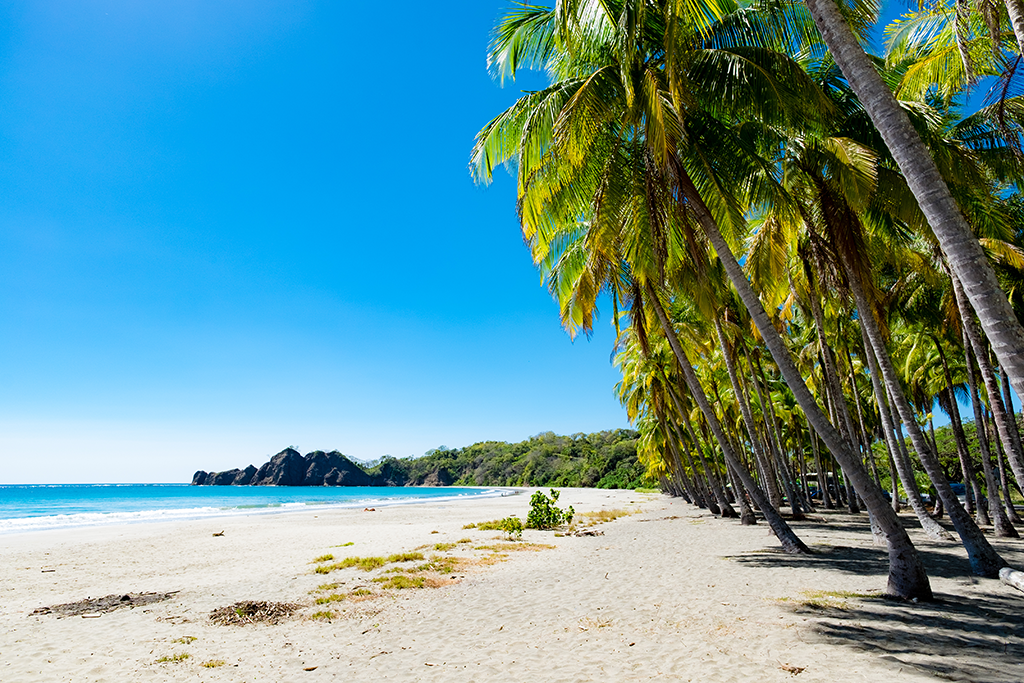
One of Costa Rica’s seven provinces, Puntarenas stretches from the Southern Pacific Zone and border of Panama all the way up to the Nicoya Peninsula.  The province features some of the most popular surfing, nat...

view properties

1461 Properties For Sale in Puntarenas

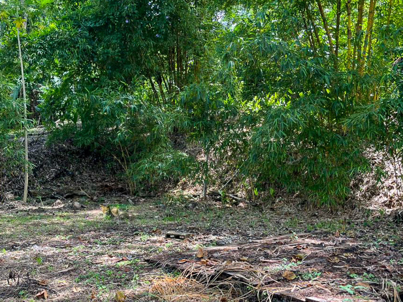
Farmstead Collection Lot 8
Land, Uvita, Puntarenas
Prime Valley View Property Near Playa Hermosa
Land, Santiago, Puntarenas
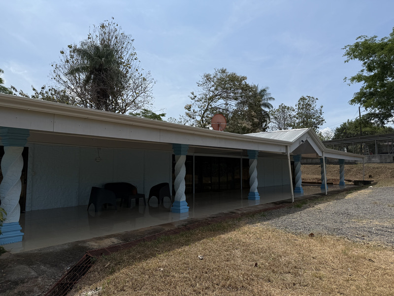
Dropped Price Spacious 1-Acre Estate Located 25 min from Jaco and Herradura
Single Family Homes, Puntarenas, Puntarenas
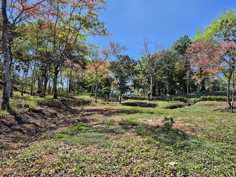
Prime 1.53-Acre Lot Ready to Build in Manzanillo Beach
Land, Manzanillo, Puntarenas
New Contemporary Condos South of Jaco
Condo, Jaco, Puntarenas
Coronado Estates Lot 3
Land, Ojochal, Puntarenas
Your Tropical Paradise: Beach Casita only 50 yards from the beach
Single Family Homes, Jaco, Puntarenas
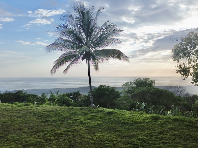
Premium Ocean View Estate Parcel with Creek and Sunset Exposure
Land, Dominical, Puntarenas
Last Next

1009-1016 of 1,461 results

Puntarenas Costa Rica Map

Puntarenas is one of seven Costa Rica provinces and located on the Western Pacific Coast of Costa Rica with the most coastline of any province.  The province features some of Costa Rica’s most popular towns like Jaco, Dominical, Manuel Antonio, Uvita, Quepos, and Golfito.  Our map of Puntarenas Costa Rica highlights the most popular destinations and the best routes to get here.  You can also find one of many national parks in the Puntarenas like Manuel Antonio, Corcovado, and Marino Ballena.      

Map of Puntarenas Costa Rica

Puntarenas is unique with different micro-climates and incredible bio-diversity.  The Osa Peninsula in the southern tip of the province is said to have roughly 5 percent of the world’s bio-diversity which is incredible considering the overall small size of Costa Rica.  The Puntarenas map on this page will help you locate the world famous Osa along with regional airports and highways to help you plan the trip.      

Sign Up For Property Alerts